Geospatial systems.
The geospatial systems we use which include plans, mapping and modelling support our work in professional woodland management, environmental services and renewable energy.
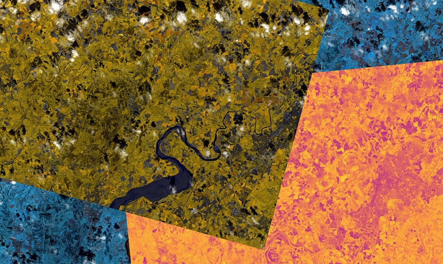
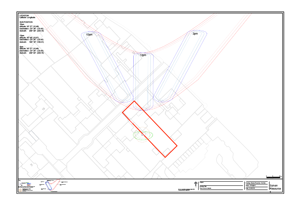
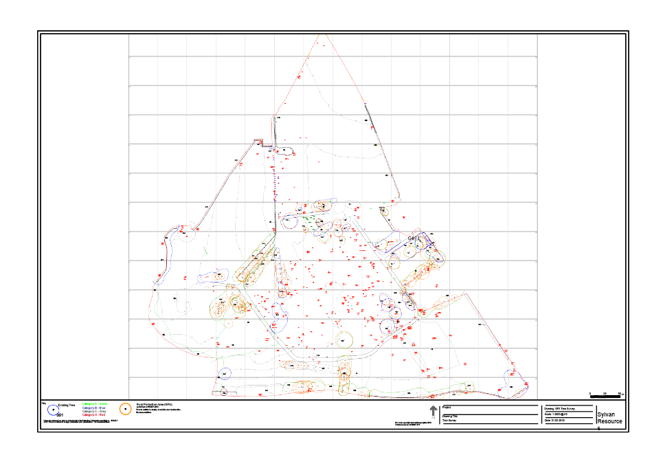
We provide plans and maps for architects, surveyors, solicitors, ecologists, archaeologists, developers, planners, engineers and land agents as well as woodland and home owners. Normally based on Ordnance Survey digital plans, these can be developed from topographical survey data. We can add data from the Land Registry and Natural England. Plans can be linked to databases containing land management information or survey data. We use satellite, drone and LIDAR imagery to provide data on vegetation, plant health, timber volumes and stocking.